Tập tin:Position of Northland.png
Không có độ phân giải cao hơn.
Position_of_Northland.png (405×590 điểm ảnh, kích thước tập tin: 7 kB, kiểu MIME: image/png)
Tập tin này từ Wikimedia Commons. Trang miêu tả nó ở đấy được sao chép dưới đây. Commons là kho lưu trữ tập tin phương tiện có giấy phép tự do. Bạn có thể tham gia. |

|
Hình ảnh thuộc thể loại "locator map" cần được vẽ lại bằng đồ họa vector theo định dạng tập tin SVG. Để biết ưu điểm của định dạng này, hãy đọc Commons:Media for cleanup. Nếu tập tin này đã có SVG, xin hãy tải lên đây rồi thay bản mẫu này bằng {{vector version available|tên hình mới.svg}}.
|
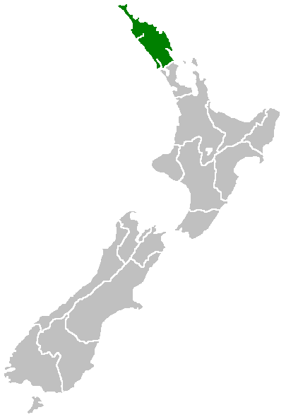
English: Region of New Zealand, position on the map (source:English Wiki)
| |
Tác phẩm này đã được tác giả của nó, Furius tại Wikimedia Commons , phát hành vào phạm vi công cộng. Điều này có hiệu lực trên toàn thế giới. Trong trường hợp không khả thi về mặt luật pháp: |
Lịch sử tập tin
Nhấn vào ngày/giờ để xem nội dung tập tin tại thời điểm đó.
| Ngày/giờ | Hình xem trước | Kích cỡ | Thành viên | Miêu tả | |
|---|---|---|---|---|---|
| hiện tại | 07:40, ngày 27 tháng 4 năm 2005 | | 405×590 (7 kB) | Domie~commonswiki | Region of New Zealand, position on the map (source:English Wiki) {{PD}} Category:Maps of New Zealand |
Trang sử dụng tập tin
Có 1 trang tại Wikipedia tiếng Việt có liên kết đến tập tin (không hiển thị trang ở các dự án khác):
Sử dụng tập tin toàn cục
Những wiki sau đang sử dụng tập tin này:
- Trang sử dụng tại af.wikipedia.org
- Trang sử dụng tại ceb.wikipedia.org
- Trang sử dụng tại de.wikivoyage.org
- Trang sử dụng tại en.wikipedia.org
- Horeke basalts
- Jellicoe Channel
- Cavalli Islands
- Cape Maria van Diemen
- Mount Hikurangi (Northland)
- Dargaville Aerodrome
- Aroha Island
- Aorangaia Island
- Araara Island
- Arakaninihi Island
- Template:Northland-geo-stub
- Maungataniwha Range
- Ngawha geothermal field
- Towai
- Taurikura
- Mount Manaia
- Omanaia
- Oromahoe
- Umawera
- Whangārei Falls
- Horahora, Whangārei
- Kokopu, New Zealand
- Titoki, New Zealand
- Pakotai
- Poroti
- Purua
- Tauraroa
- Rainbow Falls (Waianiwaniwa)
- Bulrush Lake (Northland)
- Half Mile Lagoon
- Lake Half
- Lake Humuhumu
- Lake Kahuparere
- Lake Kaiwai
- Lake Kanono
- Lake Kapoai
- Lake Karaka
- Lake Karoro / Mathews
- Lake Kihona
- Lake Manuwai
- Lake Mokeno
- Lake Morehurehu
- Lake Ngakapua
- Lake Ngakeketa
- Lake Ngatu
- Lake Ora
- Lake Otapuiti
Xem thêm các trang toàn cục sử dụng tập tin này.